River Survey
- masum
- May 15, 2026
- Uncategorized
Introduction
Have you ever thought about how engineers understand. A river before building a bridge. dam, or irrigation project? They do it through a River Survey. A river survey helps experts measure the river’s depth, width, water flow, and bank condition. Without proper survey work, river projects can become unsafe and expensive.
Today, rivers are very important for transportation, farming, electricity, and water supply. Because of this, engineers must study the river carefully before starting any project. A proper hydrographic survey helps reduce risks and improves planning.
What is River Survey?
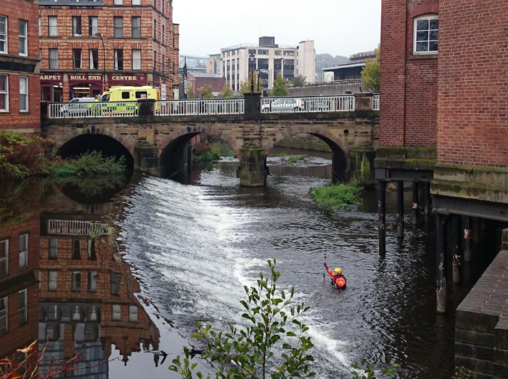
A River Survey means measuring and studying a river for engineering and water . management purposes. Surveyors collect information about the river’s shape. depth, flow speed, and surrounding land. This information helps engineers make safe and strong structures.
In simple words, river survey is the process of understanding the condition of a river. It is also called river mapping survey, bathymetric survey, or water resource survey. These surveys are very important for modern development projects.
Importance Survey
River survey is important because rivers change over time. Heavy rain, floods, and erosion can change the river’s shape and water flow. Without proper survey data, construction projects may face serious problems.
A detailed survey helps engineers identify flood risks. erosion areas, and safe construction zones. It also helps improve irrigation systems and river transportation. Proper survey work can save money, time, and human lives.
Flood Control and Safety
One major purpose of a river survey is flood control. Surveyors study water levels and river flow to identify flood-prone areas. Engineers then use this information to design flood protection . systems like embankments and drainage channels.
This process helps local people stay safe during heavy rainfall and storms. Good flood planning also protects farmland, roads, and houses from water damage.
Bridge and Dam Construction
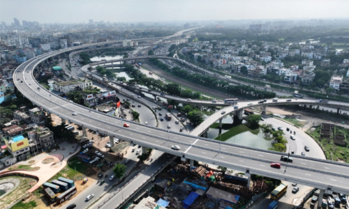
Before building a bridge or dam, engineers must know the river depth. soil condition, and water pressure. A bridge river survey provides this important information. Without proper measurements, the foundation of the structure may become weak.
River surveys also help engineers choose the best location for construction. This improves safety and increases the life of the project.
Irrigation and Agriculture
Farmers depend on rivers for water supply. A river survey helps planners design better canals and irrigation systems. It also helps control water distribution during dry seasons.
With proper survey data, water can reach more farming areas. This increases crop production and supports agriculture development.
Types of River
There are different types of river surveys depending on the project. The most common type is the Hydrographic Survey. This survey measures water depth and the condition of the river bottom. Surveyors usually use echo sounders and GPS equipment for this work.
Another important type is the Cross Section Survey. It measures the shape and width of the river from one side to the other. This survey is very useful for flood analysis and river management.
There is also the Longitudinal Survey. which measures the river slope and elevation changes. Engineers use this survey for irrigation and drainage planning.
River Equipment
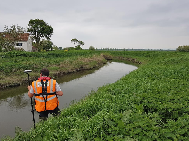
Modern river surveys use advanced technology and equipment. One common tool is the GPS/GNSS Receiver. It helps surveyors collect accurate location and elevation data. GPS technology improves speed and accuracy in survey work.
Another important tool is the Echo Sounder. This device measures water depth using sound waves. It is widely used in bathymetric surveys and hydrographic projects.
Surveyors also use Total Station equipment. to measure distance and angles near river banks. In many modern projects, drones are used for aerial mapping and erosion monitoring.
Drone River
Today, drone technology has become very popular in river surveys. A drone river survey can quickly capture aerial images and create detailed maps. This method saves time and reduces manual work.
Drones are especially useful in difficult or dangerous areas. They can easily monitor river erosion, flood zones, and riverbank changes.
Survey Process
A river survey usually starts with proper planning. Surveyors first study the project area, weather condition, and safety risks. After planning, they establish control points using GPS or Total Station equipment.
Next, the survey team measures river depth and collects riverbank data. They also record water flow, sediment condition, and river width. Finally, all collected data is analyzed to prepare maps and engineering reports.
River Erosion Monitoring
River erosion is a major problem in many areas. Strong water flow can slowly break riverbanks and destroy nearby land. River surveys help identify weak areas before serious damage happens.
Surveyors regularly monitor changes in the river shape and soil condition. This information helps authorities take preventive action to protect land and people.
Modern Technology in River Survey
Modern river surveys now use advanced digital systems. Technologies like GIS mapping, remote sensing, and sonar systems provide highly accurate data. These tools help engineers make better decisions for river management.
Digital mapping also improves project planning and reduces human error. As technology improves, river surveys are becoming faster, safer, and more accurate.
Bottom Line
A River Survey is one of the most important parts. Of water resource and construction projects. It helps engineers understand river conditions. manage floods, reduce erosion, and build safe structures.
Related Posts