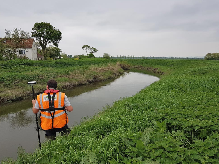
River Survey
-
Uncategorized
-
May 15, 2026
Introduction Have you ever thought about how engineers understand. A river before building a bridge. dam, or irrigation project? They do it through a River Survey. A river survey helps experts measure the river’s depth, width, water flow, and bank condition. Without proper survey work, river projects can become unsafe and expensive. Today, rivers are very important for transportation, farming, …
Continue Reading
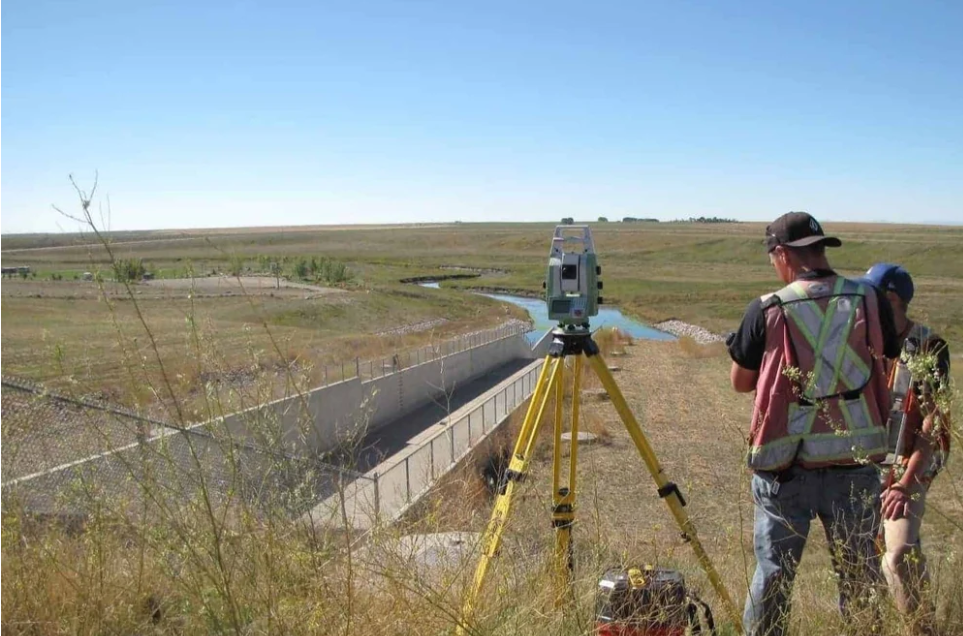
Dam Survey
-
Uncategorized
-
May 13, 2026
Introduction Have you ever wondered how engineers choose the perfect place to build a dam? Why do some dams stay strong for many years while others face problems like cracks. leakage, or flood damage? The answer is simple. A good Dam Survey is the first and most important step before dam construction starts. A Dam Survey helps engineers understand the …
Continue Reading
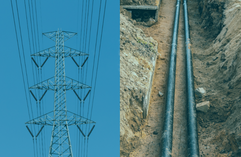
Under Ground Power Cable Line, Drainage System Survey
-
Uncategorized
-
May 12, 2026
Introduction Have you ever wondered how electricity cables stay safe under the ground? Or how engineers stop water from damaging roads, buildings, and power lines? The answer is proper survey work. Today, modern cities need safe electricity systems and strong drainage systems. Before any underground cable or drainage line is installed. engineers must carefully study the land. This process is …
Continue Reading
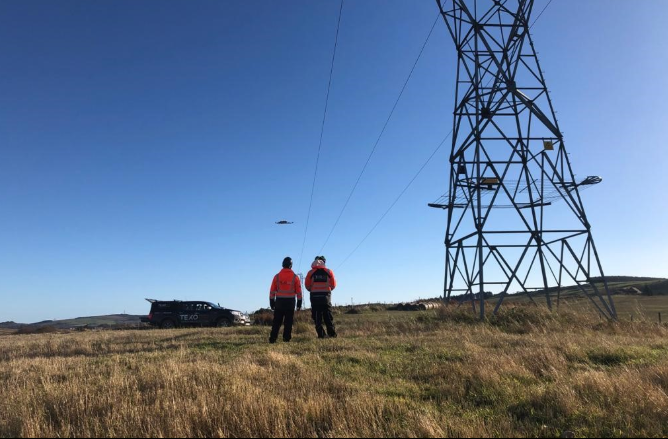
Over Head Power Transmission Line Survey
-
Uncategorized
-
May 11, 2026
Introduction Have you ever looked at big electric towers and wondered. how engineers decide where to place them? How do they make sure the power line is safe, straight, and strong? The answer is simple. They do a very important survey before construction starts. An Over Head Power Transmission Line Survey is the process of checking land. measuring distance, finding …
Continue Reading
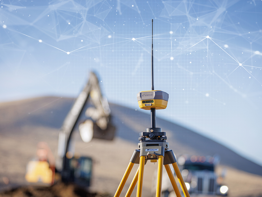
Power Plant Survey (GPS/GNSS)
-
Uncategorized
-
May 10, 2026
Introduction Have you ever wondered how engineers choose the exact place to build a power plant? A power plant is a very big project. It needs a large area of land, strong soil, good road access, and a safe location. If the location is wrong, the whole project can face serious problems later. Before construction starts, survey engineers visit the …
Continue Reading

Irrigation Survey
Introduction Have you ever thought about how water reaches a farm field at the right time? Plants need water to grow. But giving water is not only about opening a pump or canal. Water must go to the right place, in the right amount, and at the right time. This is where Irrigation Survey becomes very important. An Irrigation Survey …
Continue Reading
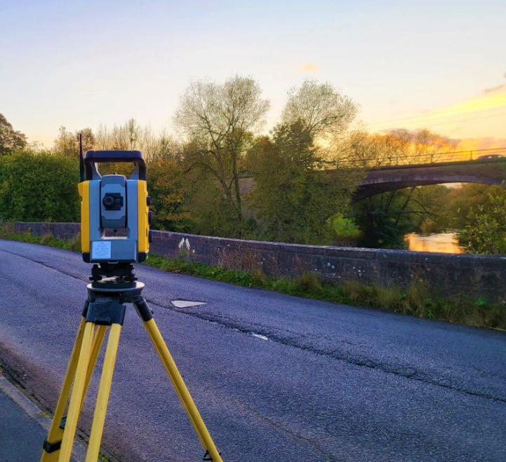
Bridge Survey
Introduction Have you ever wondered how engineers choose the right place to build a bridge? How do they know if the land is strong enough or if the river is safe for construction? The answer is simple—Bridge Survey. Before any bridge construction starts, engineers carefully study the area. They measure the land, check the soil, study water flow. and understand …
Continue Reading

Stadium Survey
Introduction Building a large stadium is a big dream and a big project. But have you ever thought, how do engineers know where and how to build it safely? The answer is simple — it starts with Stadium Survey. Before construction starts, engineers carefully look at the land. check the soil, measure the space, and see how water will flow …
Continue Reading
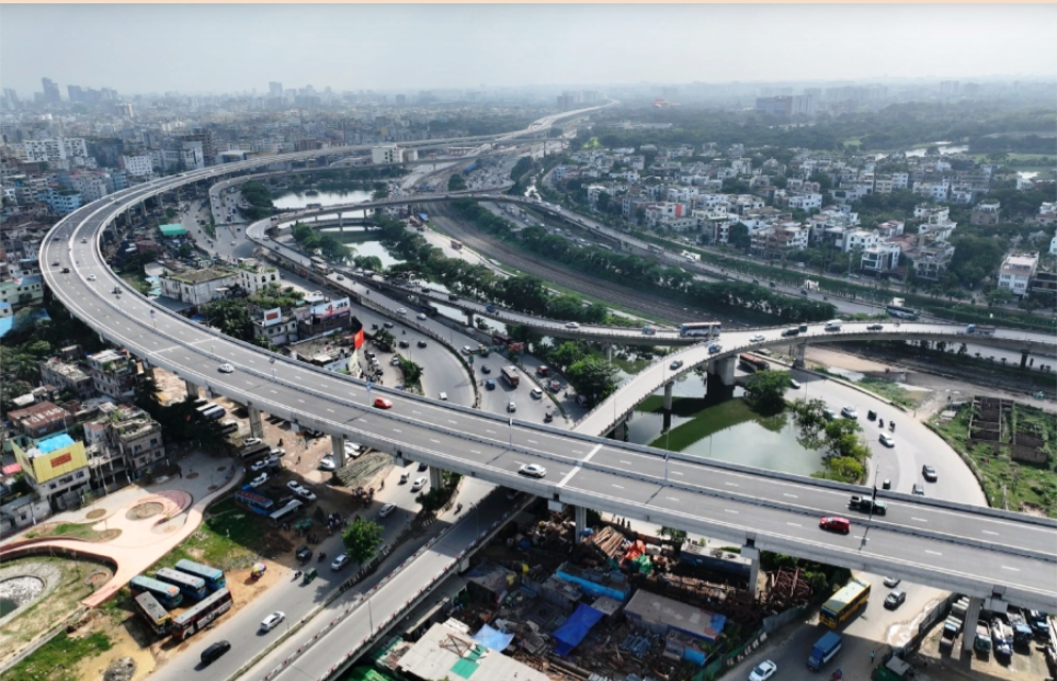
Elevated Expressway Survey
Introduction Have you ever seen a road built high above the ground and wondered how it is planned? How do engineers decide where to build it, how high it should be, and whether the land below is strong enough? The answer starts with Elevated Expressway Survey. It is the first and one of the most important steps before construction begins. …
Continue Reading
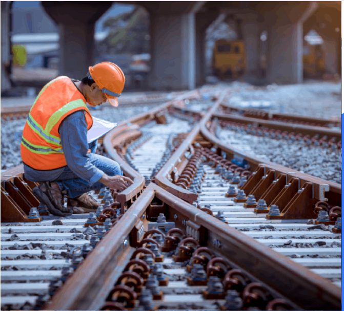
Railway Survey
Introduction Have you ever thought how a railway track is built so perfectly from one city to another? How engineers decide the exact place where trains will run safely for years? The answer is Railway Survey. Railway Survey is the first and most important step before building a railway line. Before construction starts. engineers check the land carefully to make …
Continue Reading